CASE STUDIES
Horton Cross, Ilminster - Flood Risk Assessment & Drainage Strategy
Enviren’s FRADS for the Powrmatic facility at Horton Cross demonstrates a robust, well-engineered approach to flood risk and drainage.
Through strategic use of SuDS, careful site design, and targeted mitigation, the assessment shows that the new warehouse can be safely developed despite challenges from groundwater and proximity to the River Isle. The final strategy delivers environmental betterment, regulatory compliance, and long-term resilience.
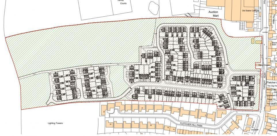
Project Overview
The proposal comprises:
- Construction of a new warehouse facility
- Associated infrastructure, including parking and drainage
- Works on land currently used for general storage (no increase in vulnerability)
The report supports the planning submission by assessing flood risk, setting out drainage measures, and ensuring compliance with NPPF, Somerset Council policy, and wider technical standards.
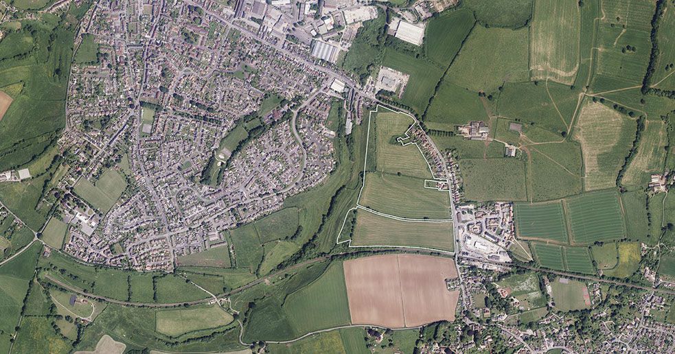
Site Location & Existing Conditions
Location & Setting
- Situated at Horton Cross, accessed via Station Road (southern access).
Ground Conditions
- Underlain by Charmouth Formation clay/mudstone, which has impeded drainage characteristics.
Catchment & Topography
- The eastern part of the site is adjacent to the River Isle.

Sources of Flood Risk
Enviren evaluated six sources of flooding, with results summarised below.
Fluvial Flooding
- The site lies largely within Flood Zone 1 (low risk).
- A small eastern segment abuts Flood Zone 3 due to proximity to the River Isle, but all built development avoids this area.
Surface Water Flooding (Pluvial)
- Minor surface water pooling is shown in mapping.
- Mitigated through re-profiling and introduction of a pond and detention basin.
Groundwater Flooding
- SFRA mapping indicates high groundwater risk.
- Addressed through:
- Raising slab levels by 300 mm
- Sealing below-ground infrastructure
- Lining attenuation features with impermeable membranes
Sewer Flooding
- Historic sewer issues exist within the wider postcode area, but none directly affecting the site.
- Non-return valves may be installed if Wessex Water identifies network constraints.
Reservoir / Artificial Waterbody Flooding
- Site is mapped at medium risk from reservoirs, but this is very unlikely to affect the site due to controlled and maintained structures.
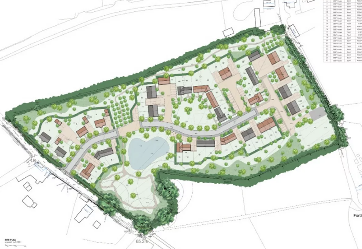
Drainage Strategy
Surface Water Management
The drainage design is centred on:
Sustainable Drainage Systems (SuDS)
A detailed SuDS assessment identifies suitable measures, including:
- Porous paving
- Swales
- Detention basin
- Pond
Hydraulic Performance
FEH rainfall data used to reflect modern rainfall patterns.
Final Discharge
Surface water discharges to the existing pipe serving the car park, which outlets into the River Isle.
Betterment Over Existing Rates
Proposed discharge rates remain below QBAR for all storm events.
Foul Water Strategy
- Foul flows discharged to the public foul sewer along Station Road.
- Conveyed via new pumping station → break chamber → gravity connection.
Flood Mitigation Measures
Key Measures from the FRADS include:
- Slab levels raised ≥300 mm to mitigate groundwater ingress
- All below-ground drainage components wrapped and sealed
- Attenuation basin and pond lined with impermeable membrane
- Freeboard and flood confidence scoring ensuring robust design
- Drainage construction sequencing to avoid temporary increases in flood risk during works
Water Quality Assessment
Using the CIRIA C753 Simple Index Approach, the FRADS confirms:
- The SuDS treatment train provides adequate pollutant mitigation,
- Safeguarding downstream waterbodies including the River Isle.
Conclusion of the FRADS
The assessment concludes:
- The development will not be at significant flood risk for its design life.
- Proposed SuDS and foul water strategies appropriately control runoff and protect water quality.
- Flood risk and water quality should not prevent planning approval.
PROJECT DETAILS
CLIENT
Powrmatic
LOCATION
Ilminster
OFFICE
Bristol
COMPLETED
2025
More Case Studies